
Hilton Head Island Postal Coverage
Town-hosted 2026 Accommodation Tax application material uses four postal codes for Hilton Head Island: 29925, 29926, 29928, and 29938. That evidence confirms a code set used in current Town mailing material. It does not provide a USPS delivery polygon, a street-by-street boundary, a neighborhood list, or a local post-office designation for any of the four. Each code must therefore be checked against an exact delivery address rather than treated as a map of the Island.
| ZIP | Areas Covered | Post Office | Notes |
|---|---|---|---|
| 29925 | Hilton Head Island mailing material; USPS confirms individual delivery pairing. | Not identified in the research material. | Town-hosted example only; no precise USPS boundary captured. |
| 29926 | Hilton Head Island mailing material; USPS confirms individual delivery pairing. | Not identified in the research material. | Do not equate it with every north-island address without USPS verification. |
| 29928 | Hilton Head Island mailing material; USPS confirms individual delivery pairing. | Not identified in the research material. | Not a Town or neighborhood boundary. |
| 29938 | Hilton Head Island mailing material; USPS confirms individual delivery pairing. | Not identified in the research material. | No local special-use classification is claimed. |
The four entries are deliberately narrow. A Town document can show that a code is used on a mailing address, while only USPS can confirm the delivery pairing and preferred formatting for a particular address. The source set did not establish a complete boundary or realignment history, so the table does not invent one.
Verify a Hilton Head Island ZIP
Use USPS before carrying a postal label into another system. Enter the full delivery address in the official lookup, retain the formatting returned for the task, and keep that result separate from the property situs or a recorded legal description. USPS resolves delivery pairing and address presentation. It does not establish parcel lines, Town jurisdiction, voting geography, a historical community, or an owner or resident identity.
The USPS ZIP Code Lookup is the official route for delivery-address verification.
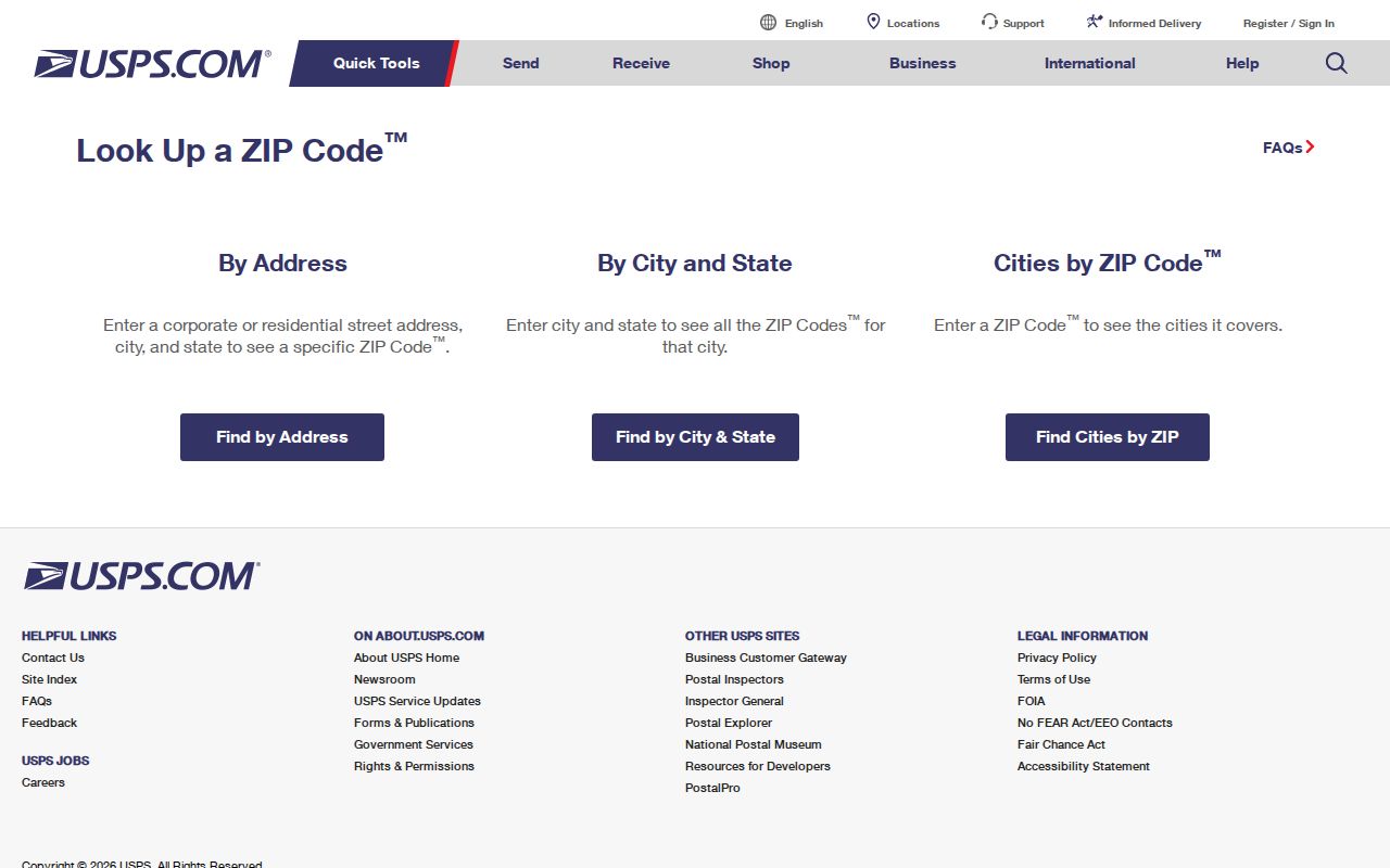
Use the returned pairing as a postal check, then move to the County or Town tool that holds the specific parcel, recording, or public case information.
Hilton Head Island Property Search Fields
Beaufort County’s Real Property Search does not accept ZIP as a filter. The property search only supports a PIN, owner name, or property street address, with one criterion at a time. That limitation is useful: after USPS confirms an address, research should move through the physical street or parcel identifier instead of assuming a postal code can locate a record. The results can show parcel and tax-account context, but an owner field or mailing address is not a current-residence finding.
| Property Search Field | Accepted Format | ZIP Capability |
|---|---|---|
| PIN | Full or partial County property identifier; partial entry broadens results | No ZIP search |
| Owner name | Last name first, no comma; an asterisk can broaden a starts-with search | No ZIP search |
| Property street address | Street name alone or a shortened address can broaden a query | No ZIP search |
The County Real Property Search is a parcel tool, not a postal directory. Its account information can include values, situs, mailing address, tax data, sales, and ownership history, subject to what a particular account displays. It does not enumerate a household, utilities, vehicle information, or an Island-wide list of residents.
Use the Hilton Head Island ZIP Directory
There is no supported way to search for resident names within one postal code through the County property portal, MySCVotes, or the Town’s permit system. The safe workflow is a postal-to-parcel handoff: use an exact address when parcel research is truly needed, verify its delivery pairing with USPS, and then use the County field the portal actually accepts. MySCVotes is individual self-service requiring matching personal information, not a ZIP or address browse feature.
- State the narrow purpose, such as confirming postal format or locating a known parcel.
- Check the complete delivery address with USPS and retain only the returned postal formatting needed for the task.
- Use the confirmed street address or PIN in the Beaufort County property portal.
- Compare the parcel in County GIS and note the legal-description clues without using the ZIP as a boundary.
- For a recorded-transfer question, use the parcel, legal description, book and page, or document date at the Register of Deeds.
Once a verified address needs a full street-level record trail, use the Hilton Head Island street directory rather than trying to expand a postal result into a resident list.
Hilton Head Island Boundary Gaps
ZIP codes are postal routing constructs. They do not define Town limits, Beaufort County parcel jurisdiction, tax districts, voting precincts, school zones, historic-neighborhood boundaries, or a legal property description. A postal-city label can coexist with a County parcel and a Town record without making any one of them the controlling geography. This is the key local geography rule: county tools answer parcel questions, the Town answers its own planning or permit questions, and USPS answers delivery questions.
Geography note. The research confirms four codes used in Town material, not their exact delivery boundaries. Do not use a postal result to select a presumed household or to bypass a custodian’s required search fields.
- ZIP and ZIP+4
- A ZIP identifies a postal routing area; ZIP+4 adds delivery-sequencing detail to a specific address format.
- PO Box ZIP
- A postal code assigned to post-office boxes in general. The source material does not classify any local code that way.
- Unique ZIP
- A code USPS may assign to a single organization or delivery purpose. No Hilton Head Island code is given that label here.
- Carrier route
- A postal delivery sequence used for mail operations, not a local-government boundary or people search.
Hilton Head Island Parcel Handoff
After a postal check, County GIS is the next geographic layer. The Beaufort County GIS hub leads to mapping applications, and its address-parcel data can expose a PIN, lot number, DMP, acreage or area, jurisdiction, and mapped geometry. Those fields help distinguish a mailing address from the parcel it references. They do not convert postal information into a precise legal boundary.
For recorded documents, move from the parcel clues to the Register of Deeds using the legal description, parcel number, document date, book and page, or party name as the office permits. The ROD’s quick and advanced searches focus on party, document, date, legal-description, and parcel criteria, not ZIP. Keep the source system visible in your notes because postal, parcel, and recording systems answer different questions.
Search-system provenance is also useful here. Beaufort County’s Register of Deeds changed providers in February 2026: the newer public system carries current data from February 23, while the legacy New Vision service is the route for data through February 19. A missing result near that transition should prompt a dated, system-specific check, not an assumption that the parcel or document does not exist.
Hilton Head Island Town Map Context
The Town’s EnerGov Customer Self Service route adds a separate public development-record layer. The Town guide documents an address search, map context, and case-record drill-down after an address is known. It is useful for a posted permit or plan question, but it is neither a postal authority nor a people search. Keep a permit applicant or contact separate from a title, owner, or residence conclusion.
The Town EnerGov Customer Self Service page is the starting screen for that Town system.
Use it after an address is verified and only for the public case context the Town presents, not to validate a postal code or identify a resident.
Hilton Head Island Historic Place Labels
Older Island material may use a community or development name rather than a modern ZIP code. The Town’s Conditions and Trends Assessment places Byrnes Bridge in 1956, the start of Sea Pines in 1957, Spanish Wells and Port Royal development in 1961, and Town incorporation in 1983. These markers help explain why a dated source can use a place label that differs from current mail formatting. They do not establish a street renumbering history, parcel boundary, or individual connection.
Town-mapped historic Gullah Geechee communities are also geographic context, not a directory of identity or membership. Preserve a source’s own Town, County, community, subdivision, or postal label in notes. The research did not find an authoritative island-wide postal realignment or renumbering chronology, so a mismatch should prompt a check of the dated map, parcel, document, or archive rather than a guess.
Hilton Head Island ZIP Code Directory Limits
This ZIP code directory is useful for showing the documented code set and routing an address to the right official system. It does not support ZIP-filtered resident names, voter filtering, criminal-history filtering, household composition, or claims about who lives at an address. The MySCVotes screen requires a person’s matching county, name, date of birth, and last four Social Security digits. Its access model confirms that a postal label is not a substitute for individual credentials.
When the source needs correction, send a property account issue to the County assessment offices, a recorded-document question to the Register of Deeds, a Town case issue to the Town, and a delivery-format issue to USPS. An accurate guide preserves these boundaries instead of merging fields from several systems into a profile.
Hilton Head Island Postal Safeguards
Use the smallest amount of address information needed for a lawful, specific research task. An address can be stale, a record can be sealed or redacted, and a safety program can require a substitute address. South Carolina’s Address Confidentiality Program supplies a designated address for eligible participants and does not invite anyone to test participation through public records. When a safety, confidentiality, or correction concern appears, stop and use the relevant custodian’s review process.